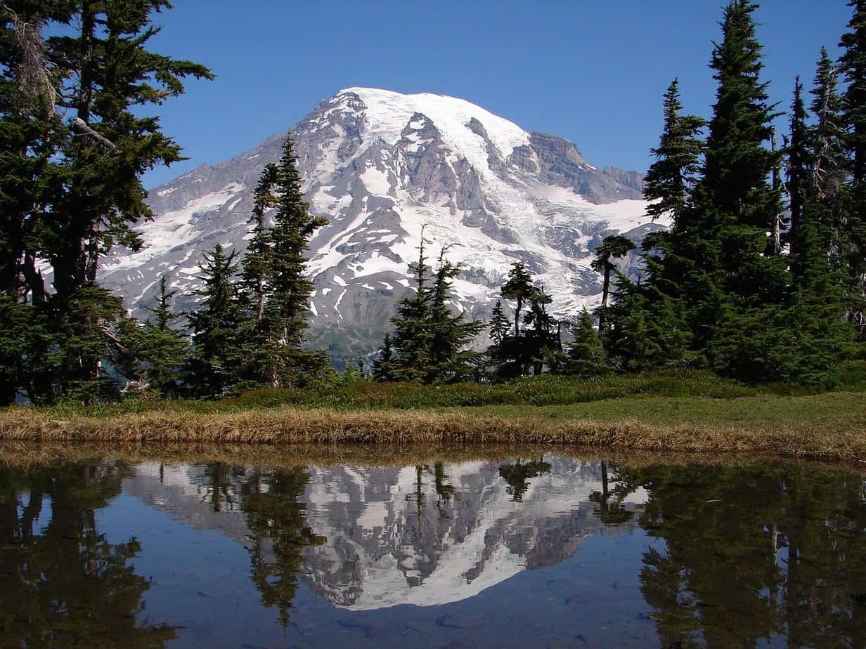
With over 260 miles of trails in Mount Rainier National Park its easy to get overwhelmed when trying to choose which hike or trail to take.
This is especially true as a beginning hiker new to Mount Rainier looking for an easy day hike that allows them to experience Mount Rainier without getting in over their heads.
If you are a beginner hiker at Mount Rainier National Park keep reading as we will go into great detail about hiking at Mount Rainier and all the best easy trails the park has to offer.
Top 10 Mount Rainier Easy Hikes: A Detailed List
In this guide to easy hikes at Mount Rainier National Park, we will give a broad overview of the park first, then go into detail about each of the top easy hikes, and finally answer the most commonly asked questions from beginner hikers visiting the park.
Getting to Know Mount Rainier National Park
While many people use Mount Rainier and Mount Rainier National Park interchangeably they are actually two separate things.
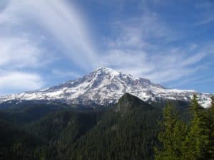
Mount Rainier known also as Tahoma or Tacoma is a 14,411 feet tall active volcano that last erupted in 1894. While Mount Rainier National Park is the national parkland that surrounds the Mount Rainier Volcano encompassing some 369 square miles.
By far one of the largest attractions at Mount Rainier National Park is Mount Rainier and for many professional hikers and climbers summitting Mount Rainier is at the top of their bucket list with approximately 10,000 attempting it each year with only about a 50% success rate according to the National Park Service.
However, Mount Rainier is definitely not the only thing to see in the park as there are literally miles and miles of old-growth forests, high subalpine meadows, and fields of wildflowers surrounding Mount Rainier that you can explore through hiking trails.
Only about 59 miles south-south-east of Seattle, Mount Rainier National Park is definitely one of the top attractions in Washington State.
The Different Areas of Mount Rainier National Park
Before getting into the top 10 easy trails at Mount Rainier it’s important to first understand that the park is broken up into 5 main areas including the Longmire Area, the Paradise Area, the Ohanapecosh Area, the Sunrise Area, and the Carbon River and Mowich Area.
By knowing the basics of each of these areas you will be better able to pick the best easy hike and trail for your needs based on what you want to see and experience while hiking in Mount Rainier National Park.
Longmire Area
The Longmire area of Mount Rainier National Park is located in the southwest corner of the park and is the oldest area of the park. The first settlement and the original park headquarters from when the park was first founded in 1899 are located here.
For those interested in history the Longmire area is the place to be as the whole area is steeped in human history and old-forest growth.
Paradise Area
Also located in the southwest corner of the park the Paradises area is by far one of the most popular areas and destinations in the park and is one of the best places to check out on your first visit to the park.
Home to the Paradise Inn and the Jackson Visitor Center there is tons of information available for the beginning hiker in this area.
Also, in the winter you can snowshoe and sled through the area and during the summer you can experience Paradise in all its splendor while you hike through subalpine meadows full of wildflowers.
Ohanapecosh Area
Located in the southeast area of the park the Ohanapechosh is one of the best places to experience the old-forest growth the park has to offer with many trees in the area being hundreds of years old.
The Ohanapecosh area has some of the best views of Mountain Rainier and has several subalpine lakes as well as the famed Silver Falls.
Sunrise Area
The Sunrise area is built on a historic lava ridge and is located in the northeast corner of the park and features many of the best views of the park including views of Edmunds Glacier. The Sunrise area of the park also connects to the famous Pacific Crest Trail.
If you are looking for wildflowers the park is famous for, some of the best places to see them are in the Sunrise area.
Another main attraction in the Sunrise area is Sunrise Point which provides 360-degree views of Mount Rainier and the surrounding Cascade Mountains.
Carbon River & Mowich Area
The Carbon River area is located in the northwest corner of the park and is one of the rainiest areas of the park.
If you want to explore how water shaped Mount Rainier the Carbon River and the Mowich area are some of the best places to discover it. Not only do these areas feature the impressive Carbon River but this area is also home to the Carbon Glacier which is the deepest glacier in the park.
The Carbon River area is also home to a unique temperant rain forest that provides a diverse ecological area to explore while hiking.
For even more information on the different areas of Mount Rainier National Park check out this informative video on YouTube from the National Park Service.
Top 10 Easy Trails and Day Hikes at Mount Rainier
These top 10 easy hiking trails are in no particular order and which one choose really just depends on what you’re looking for and what you want to see while hiking in Mount Rainier National Park.
Also, it’s worth mentioning that most of these trails and hikes are around 2 hours or less so you could easily do more than one of these day hikes if you wanted to on the same day.
1. Trail of the Shadows
Park Area: Longmire Area
Trailhead Location: Across the road from the National Park Inn
Trail Length: .7 Miles (loop trail)
Estimated Hiking Time: 20 to 30 Minutes
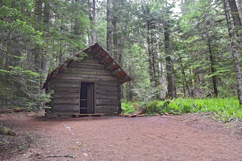
The Trail of the Shadows is an easy hike even if you have no prior hiking experience at all. The trail is wide and flat and very well maintained. There is little to no elevation change on this hike.
The trail allows you to take a self-guided tour exploring the early history of the Longmire Springs Resort.
Some of the main points of interest for this trail include the naturally occurring bubbling springs and the Longmire historic cabin which is a replica of an early homestead cabin that would have been found in the area.
This is a great hike for the whole family and is a great introduction to the hiking trails at Mount Rainier National Park.
2. Twin Firs Loop Trail
Park Area: Longmire Area
Trailhead Location: Located on the road between Nisqually entrance and Longmire.
Trail Length: .4 Miles (loop trail)
Estimated Hiking Time: 20 Minutes
This is one of the shortest trails you can hike at Mount Rainier and still experience the majestic beauty of an old-growth forest. If you are pressed for time and don’t have half a day to hike one of the longer trails through the old-growth forest this is the next best thing as you can complete this hike in around 20 minutes.
The Twin Furs Loop Trail allows you to get up close and personal with towering specimens of the Northwest’s big green evergreens including the Douglas-fir, the western red cedar, and the western hemlock.
While the trail is short and easy this trail is narrow in many areas allowing only enough room for a single hiker to pass and there are some moderate changes in elevation as you hike the trail.
3. Bench & Snow Lakes Trail
Park Area: Paradise Area
Trailhead Location: Located on Stevens Canyon Road 1 1/2 miles from Reflection Lake.
Trail Length: 2.5 Miles (roundtrip)
Estimated Hiking Time: 2 Hours
The Bench and Snow Lakes Trail passes by two different lakes including Bench Lake and Snow Lake hence the trail name. The trail offers tons of locations to get some amazing photos and to just relax and enjoy nature.
During the summertime, the trail is also a great place to see meadow flowers if you came to Mount Rainier looking for wildflowers in the area.
The National Park Service has rated this trail as moderate, while only 2.5 miles long there are a series of gradual ups and downs while on the trail and a total elevation change of 700 feet throughout.
4. Silver Falls Trail
Park Area: Ohanapecosh Area
Trailhead Location: Loop B of the Chanapecosh Campground
Trail Length: 3 Miles (roundtrip)
Estimated Hiking Time: 2 Hours
The Silver Falls Trail gives you an amazing up-close look at the Silver Falls which falls 75 feet in a silver spray giving the falls its name.
As with the Bench and Snow Lakes Trail, the Silver Falls Trail is rated at a moderate level of difficulty by the National Park Service. While most hikers should be able to handle the trail adequately be advised that the rocks and the surrounding areas near the falls can be slippery and wet.
The National Park Service also mandates that all guests stay behind the fences and on the trail at all times for your safety.
5. Grove of the Patriarchs Trail
Park Area: Ohanapecosh Area
Trailhead Location: West of the Steven Canyons Entrance.
Trail Length: 1.3 Miles (loop trail)
Estimated Hiking Time: 1 Hour
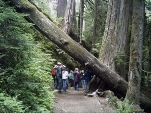
One of my favorite easy trails in Mount Rainier National Park is the Grove of the Patriarchs Trail because of how unique it is not only to the rest of the park but really compared to any other forest area in the country.
As the trail walks you to an island surrounded by the Ohanapecosh River that is covered in 300 foot tall thousand-year-old Douglas-fur and western red cedar trees. You just have to see it as there really is no way to describe it adequately.
This .3 mile trail is great for the whole family as the trail is well marked and maintained. Also, there is less than a 100-foot elevation change throughout the trail.
6. Shadow Lakes Trail
Park Area: Sunrise Area
Trailhead Location: Sunrise Parking Lot
Trail Length: 3 Miles (roundtrip)
Estimated Hiking Time: 1.5 Hours
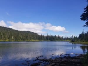
If you are looking for some epic views or vistas this trail has you covered with views of the White River Valley, Mount Rainier, and views and access to Shadow Lake.
While the trail is longer than most on this list most hikers should find the trail pretty easy to accomplish. The Shadow Lake trail is also located really close to the Sunrise Wilderness Camp.
7. Sunrise Nature Trail
Park Area: Sunrise Area
Trailhead Locations: Near the Sunrise Picnic Area
Trail Length: 1.5 Miles (loop trail)
Estimated Hiking Time: 45 Minutes
Sunrise Nature Trail is a trail that just about anyone should be able to accomplish with relative ease and the great thing is that it still offers some amazing views of Mount Rainier and the Cascades.
The trail is a self-guided loop with an elevation change of only about 300 feet that can easily be accomplished in under an hour.
8. Naches Peak Loop Trail
Park Area: Sunrise Area
Trailhead Location: Near Tipsoo Lake
Trail Length: 3.5 Miles (roundtrip)
Estimated Hiking Time: 2 Hours
Naches Peak Loop offers some great views of Mount Rainier throughout the hike as well as many great views of several different lakes.
Also, a point of interest for this hike is that half of the hike is actually on the famous Pacific Coast Trail.
While not the easiest hike on this list as it does have some narrow and slightly steep sections and 600 feet of elevation change most beginning hikers should not have too many issues with this hike.
9. Carbon River Rain Forest Nature Trail
Park Area: Carbon River & Mowach Area
Trailhead Location: Carbon River Entrance
Trail Length: .3 Miles (loop trail)
Estimated Hiking Time: 20 to 30 Minutes
Rain Forest Loop Trail is one of the shortest hikes in Mount Rainier National Park but it is also a must-see thanks to its unique inland rain forest characteristics.
The trail is an easy self-guided loop that just about any hiker can handle.
10. Tolmie Peak Trail
Park Area: Carbon River & Mowach Area
Trailhead Location: Mowich Lake
Trail Length: 6.5 Miles
Estimated Hiking Time: 4 Hours
At 6.5 Miles Tolmie Peak Trail is the longest and most strenuous trail on this list and is truly a day hike as it should take you about 4 hours to complete the trail moving at a moderate pace.
Please note that while this trail is easier compared to some other trails at Mount Rainier the National Park Service has rated this trail as moderate as it does include a little over a 1000 feet of elevation change throughout and there are some steep inclines and declines on the trail.
Do’s and Don’ts While Hiking at Mount Rainier
- Stay on the designated hiking trails to protect the natural and delicate environment around you.
- Always hike in a group and never hike alone.
- Pets and bicycles are not permitted on the hiking trails.
- Avoid fragile flower fields, streams, and lakes.
- Do not pick the wildflowers.
- Always pay attention to your surroundings especially moving cars as drivers can often be distracted looking at the scenery.
- Keep your hiking schedule flexible as parking for trailheads can fill up especially during the peak summer months and overflow parking is not permitted. So you may need to find another trail to hike as opposed to the one you planned to.
- While Mount Rainier State Park is open year-round not all roads or trails are due to winter weather. So always check to see if the trail is open that you plan to hike on.
How Much Does it Cost to Hike at Mount Rainier National Park?
You can hike all the trails at Mount Rainier Nation Park by paying the entrance fee to the park. All entrance fee passes are good for 7 days.
Below is the price breakdown of the different entrance fees the park charges.
$30 – Per Car
$15 – Walk-in or Bike-in /Per Person
$25 – Per Motorcycle
$55 – Annual Pass (Good at either Olympic or Mount Rainier National Park)
What is the Best Time to Visit Mount Rainier?
If you don’t mind the crowds the best time to visit Mount Rainier National Park is during the peak summer season from July through August as this is when all the park’s wildflowers are in full bloom.
Also, thanks to the dry warm air in the summertime it is the optimal time of the year to hike in Mount Rainier National Park.

